Majes · Table grape · Export
Area
3.1 ha
Perimeter
842 m
Accuracy
±1.2 m
Boundary capture · 8 of 12 points

TUPU
The operational layer for disconnected agriculture.
GPS parcel measurement, campaign operations, and async sync — mission-critical field software for producers working without signal.
The challenge
Field work happens without reliable connectivity.
No signal in the field
Producers work for days with intermittent or zero mobile coverage.
Paper-based records
Parcel data, campaigns, and harvest notes live in notebooks — easy to lose, hard to share.
Disconnected workflows
Measurement, planning, and execution happen in separate tools that don't talk to each other.
Delayed decisions
Without field data on hand, operational decisions wait until someone returns to town.
Field operations
Built for real plots, real conditions.
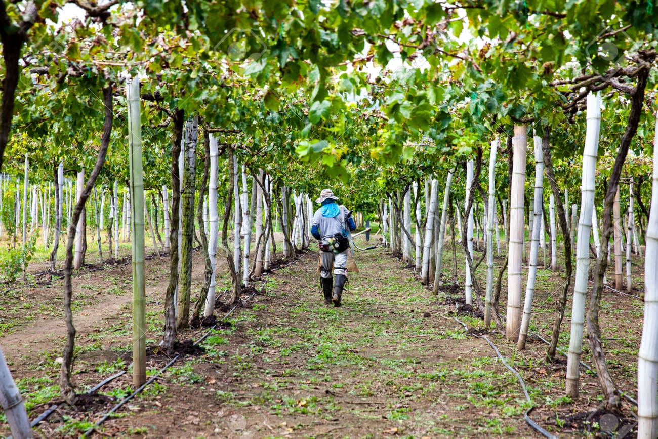
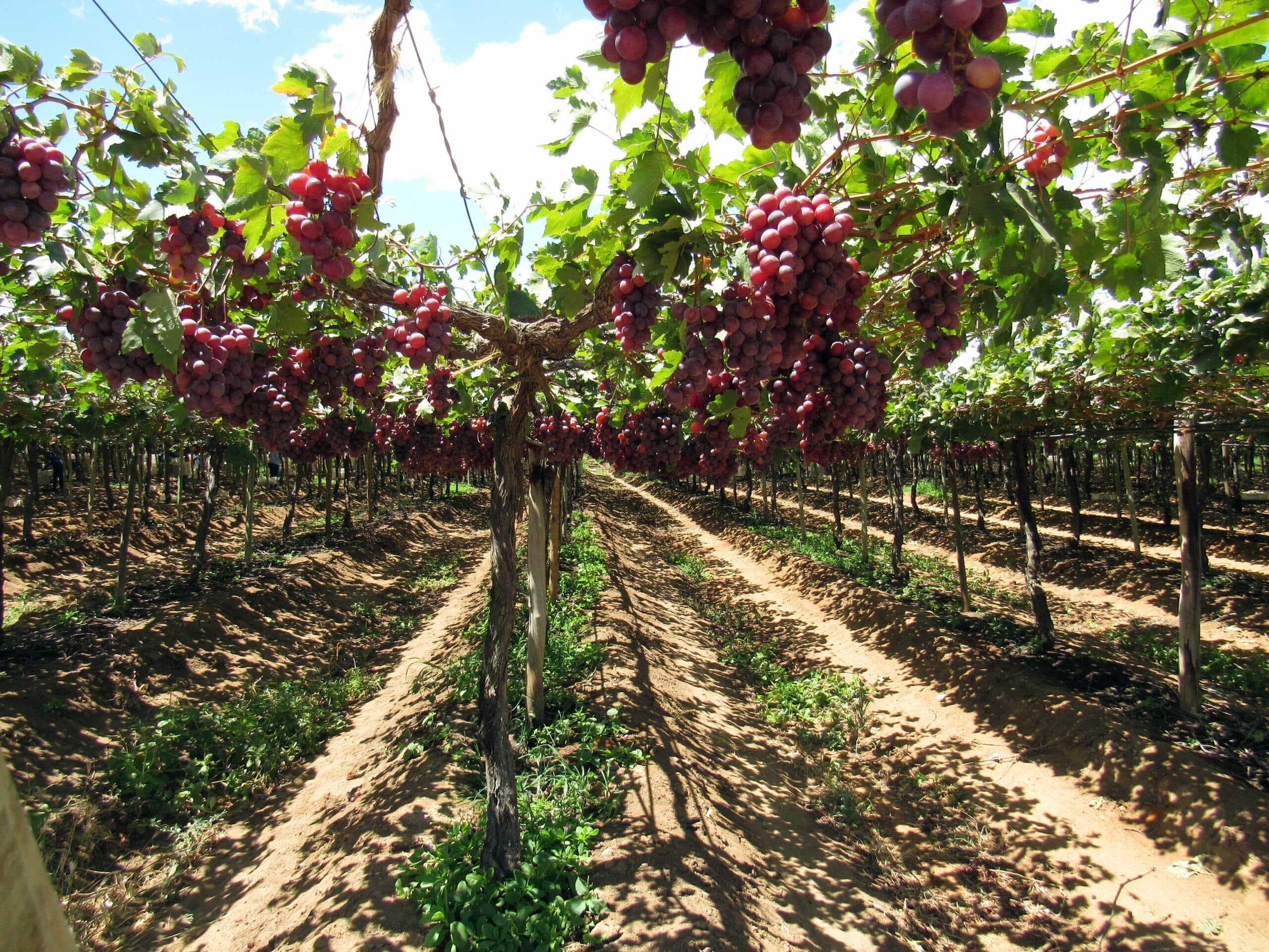
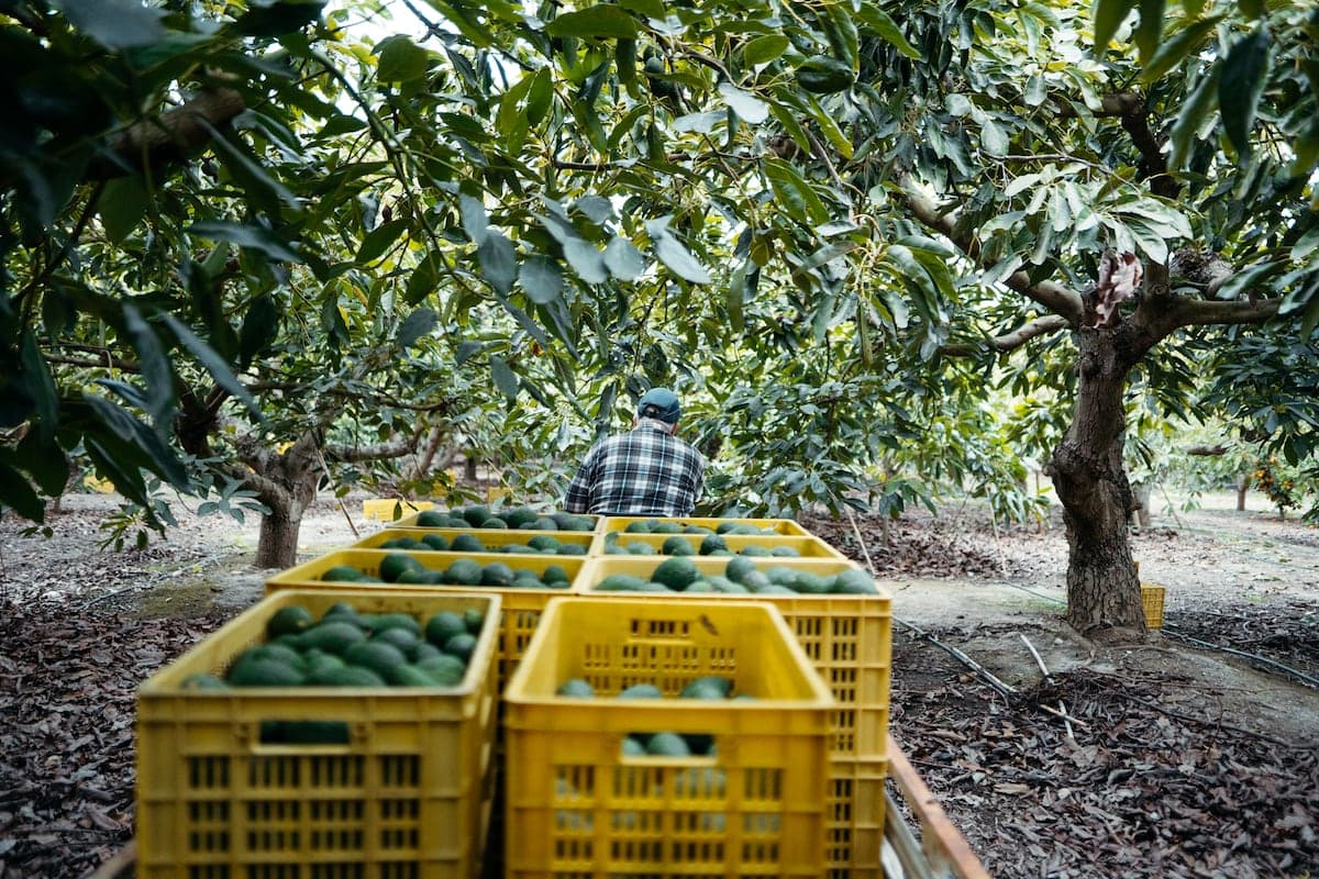
TUPU runs where producers work — in active avocado and grape corridors across Castilla and Majes, under sun and without signal.
Field-tested
Sun, dust, zero signal
Active plots
Production zones in southern Peru
Local deployment
Castilla & Majes corridors
Technology
Works offline. Syncs when you can.
Local storage, GPS parcel capture, and async sync — so field operations never depend on a connection.
Offline-first sync
Record measurements and campaign data locally. Sync automatically when signal returns.
On-device storage
Parcel boundaries, campaigns, and field notes stay available without a network.
Async synchronization
Queued operations upload in order, with conflict handling when connectivity is intermittent.
GIS parcel mapping
Draw and verify parcel boundaries with GPS — measured directly in the field.
Edge processing
Geospatial calculations run on the device, not in a distant data center.
Field validation
Validated in real agricultural environments.
Deployed with producers in southern Peru — where offline operation isn't a feature, it's a requirement.
Connectivity
0% required in-field
Parcel capture
GPS-verified boundaries
Operations
Campaigns & alerts offline
Table grape and avocado production corridors
Castilla
Highland deployment zone
Majes
Irrigated valley operations
100%
Core workflows work offline
GPS
Parcel measurement in-field
Product
Everything you need in the field.
GPS parcel measurement, campaign management, and operational alerts — all available without connectivity.
2.4 ha · GPS verified
GPS parcel
2.4 ha measured
Async sync
12 operations queued
2.4 ha · GPS verified
GPS parcel measurement
Walk parcel boundaries and capture precise geospatial areas — no external GPS hardware required.
Campaign Q2
Maíz · Castilla
Campaign management
Plan and track agricultural campaigns across multiple parcels, crops, and seasons from one app.
Campaign Q2
Maíz · Castilla
Operational alerts
Get notified about irrigation windows, pest risk, and critical field events — even offline.
Offline mode
12 operations queued for sync
Full offline mode
Every core workflow runs without signal. Data syncs automatically when you reach coverage.
2.4 ha · GPS verified
Supply-chain visibility
Connect field capture to pack-out — operational data flows when connectivity allows.
Operational scale
From field to export corridor.
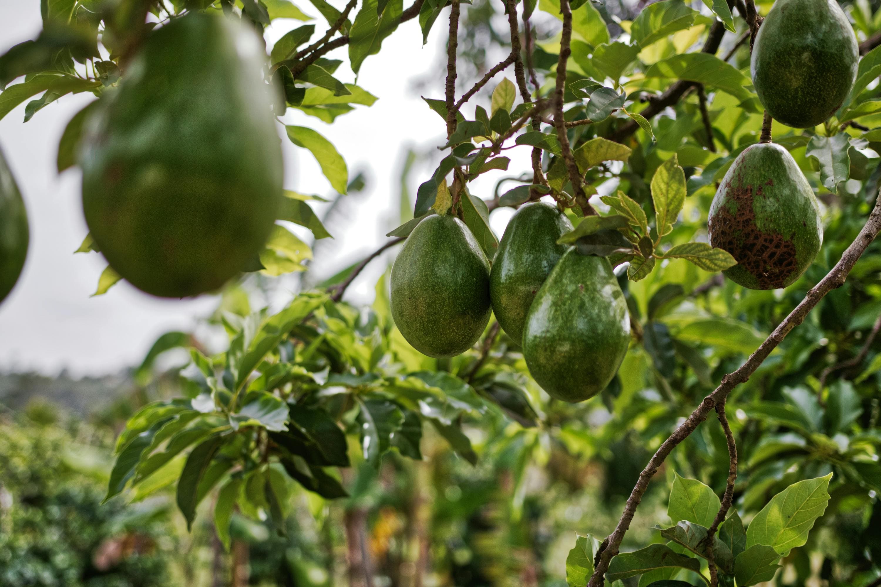
TUPU supports export-grade production — parcel intelligence, campaign tracking, and logistics data for avocado and grape systems.
Export corridors
Parcel data aligned with export-grade crop and pack-out workflows.

Vision
Mission-critical infrastructure for disconnected agricultural regions.
Reliable field operations for producers who can't depend on connectivity — starting in Peru, built to scale across Latin America.